The India Meteorological Department (IMD) has expected a new round of scattered to widespread rainfall and/or snowfall over the Western Himalayan Region on Saturday to Sunday, May 6-7.
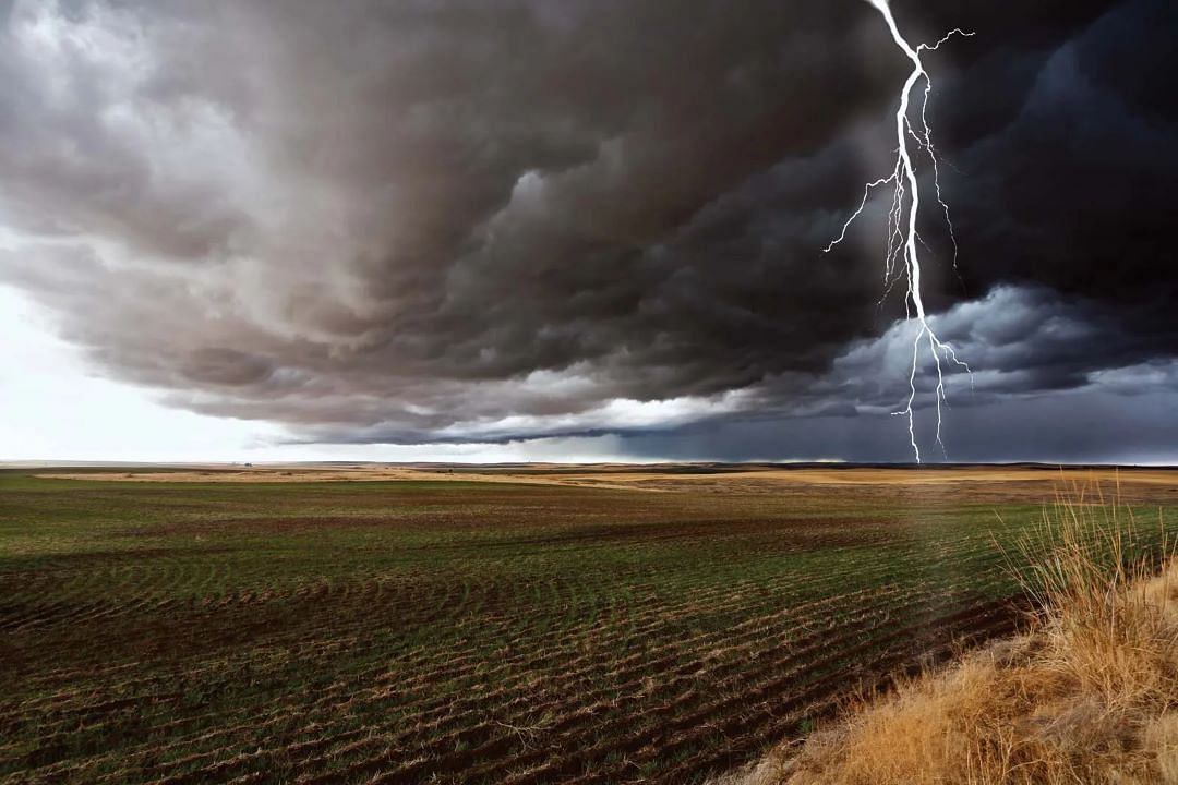
Thunderstorms, lightning, and strong gusts will accompany the regional showers. On Sunday, May 7, parts of Punjab and Haryana may be impacted by isolated hailstorms.
Given these forecasts, the IMD's regional meteorological centre in New Delhi has issued a yellow watch (which means 'be aware' of local weather) for Jammu-Kashmir, Ladakh, and Punjab from Friday to Sunday. The similar warning will be issued in Himachal Pradesh, Uttarakhand, Haryana, Chandigarh, and Delhi, but just for the weekend.
These inclement weather conditions will be precipitated by a new western disturbance (WD), which is now stationed as a cyclonic circulation over West Iran and is expected to influence North Indian weather beginning today. These WDS are essentially low-pressure systems that form over the Mediterranean Sea and migrate westward, collecting moisture that is eventually dumped over North India.
As the effects of this system dissipate, temperatures in the northern sections of the country will gradually rise and normalise over the next three days.
In the meantime, another western disturbance has been impacting North Indian weather since the beginning of this week. As a result of its influence, all northern states and UTs have recorded 'significant excess' rainfall compared to their respective average statistics so far this May.
Between May 1 and 4, Jammu-Kashmir received 18.2 mm (66% 'large excess'), Himachal received 35.5 mm (235% LE), Uttarakhand received 41.5 mm (454% LE), Punjab received 6.7 mm (181% LE), Haryana received 12.6 mm (499% LE), Delhi received 26.9 mm (828% LE), and West Uttar Pradesh received 30.2 mm (1788% LE) and Rajasthan 11 mm (1469% LE).


