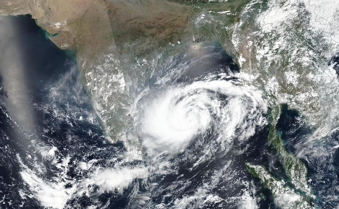
As of 5:30 a.m. yesterday, the storm was centred over central and southeast Bay of Bengal and is expected to continue to gain strength for the next 48 hours as it moves north-northeastwards over the east-central Bay of Bengal.
The GFS and ECMWF forecasting models differ in their predictions for the timing and strength of Mocha's landfall. The IMD-GFS model suggests the storm will reach maximum sustained wind speeds of 150-160 kmph, gusting to 175 kmph, during its peak period from Saturday evening to Sunday morning.
Mocha is expected to make landfall over southeast Bangladesh and north Myanmar coasts by Sunday noon (May 14). The NWP model of ECMWF predicts that Mocha will make landfall over the Bangladesh-Myanmar border just before dawn on Monday (May 15), potentially strengthening into an Extremely Severe Cyclonic Storm on Sunday night.
The IMD categorizes cyclones based on their maximum sustained wind speeds, with a Cyclonic Storm having wind speeds between 63-88 kmph, a Severe Cyclonic Storm having winds between 89-117 kmph, a Very Severe Cyclonic Storm having winds between 118-165 kmph, and an Extremely Severe Cyclonic Storm having winds between 166-220 kmph.
Wind speeds above 221 kmph give rise to a Super Cyclone. While Cyclone Mocha is still at sea, it is expected to cause rough sea conditions in the Bay of Bengal and strong winds in nearby coastal regions.
The southern and eastern parts of India are unlikely to be impacted, but the northeastern region could experience heavy precipitation over the weekend. Heavy to very heavy showers across Andaman-Nicobar are also expected to continue until Sunday.


