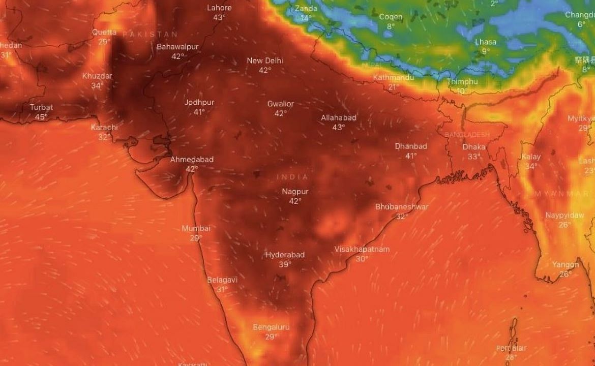
According to the IMD's extended projection, daytime temperatures in northwest and west-central India, including Punjab, Haryana, Delhi, Rajasthan, and Gujarat, will be normal to below-average this month. In contrast, maximum temperatures in east-central, east, northeast, and peninsular India will be above normal.
Across most of the country, night time temperatures will be between normal and below normal. However, those living in certain parts of northwest and east India, where above-normal minimum temperatures are expected, may experience extremely hot nights.
Residents in Bihar, Jharkhand, Odisha, Gangetic West Bengal, east Uttar Pradesh, coastal Andhra Pradesh, and sections of North Chhattisgarh, east Madhya Pradesh, Telangana, and coastal Gujarat, on the other hand, should be cautious. The IMD predicts above-normal heatwave days in these regions in May, ranging from 2 to 6 days. When local temperatures exceed 40°C and simultaneously reach 5°C to 6°C over the region's usual temperature, the IMD declares a heatwave.
"Normally, maximum temperatures in May are above 40°C, but this time they are expected to be mostly lower and in the below-normal range over northwest and west-central India." "The region is also unlikely to experience heat waves, but isolated heat wave events may occur," said M Mohapatra, director general of IMD.
The Northwestern Plains also experienced a cooler-than-normal April, with Delhi registering a mean maximum temperature of 35.3°C, 1.2°C lower than the month's average (36.5 °C). A similar pattern is expected to continue this month, providing some relief to some of the country's hottest spots, like Rajasthan, Delhi, and Haryana.
Normal rains (91-109% of the Long Period Average) are expected over the country this month, according to the rainfall forecast. The spatial distribution, on the other hand, may vary. As in April, northwest, west-central, and northern parts of peninsular India are likely to receive more rain than usual in May. Northwest India is predicted to have increased thunderstorm activity and rainfall as a result of Western disturbances. This will allow it to maintain its current trend, in which the second half of April was cooler than typical.
Meanwhile, most of northeast India, as well as many parts of east-central India and south peninsular India, are expected to receive below-average rainfall. Because of its proximity to the Bay of Bengal and the rainfall it brings, thunderstorms are common throughout the eastern region during this season, keeping temperatures in check. However, according to Mohapatra, IMD's models indicate that moisture incursion may be low during May due to a weak anticyclone over the BoB.
Furthermore, the Western Disturbances that are affecting northwest India at this time of year may have no effect on the weather over east India.


