The Indian government is taking steps to modernize the process of estimating crop area and production, acknowledging that the current system is largely manual and prone to delays and errors.
The Centre, which oversees this effort, has encouraged states and Union Territories (UTs) to embrace the Digital Crop Survey system starting from the next agricultural year in July. The Digital Crop Survey is an initiative to digitize and automate the process of collecting agricultural data.
Under the guidance of the Economics, Statistics and Evaluation Division (ESED) within the Ministry of Agriculture and Farmers' Welfare, detailed guidelines have been formulated for the collection of agricultural production estimates. These guidelines have been shared with states and UTs for their adoption.
The key mandate from these guidelines is that all states and UTs are to "automate/digitize the process of area enumeration/girdawari of crops at the field level, i.e., Digital Crop Survey, from the 2024-25 Agricultural Year." In India, the agricultural year begins in July and concludes in June of the following year.
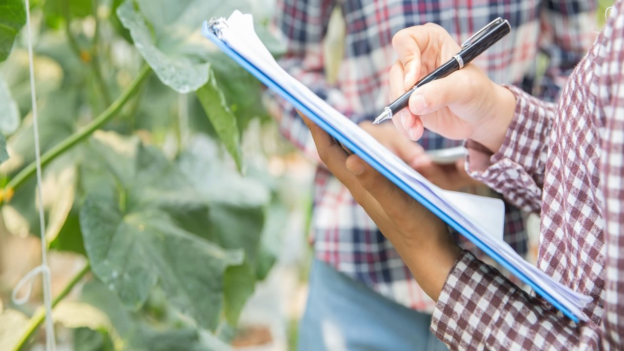
To achieve this, the guidelines instruct states and UTs to use GPS-enabled mobile applications for the collection of crop sowing data for each plot and share the aggregated village-level data with the Department of Agriculture and Farmers' Welfare through APIs (Application Programming Interfaces).
The motivation for this digital transformation is that the current system of collecting and compiling crop statistics is predominantly manual, leading to delays and manual errors. A few states, such as Karnataka, Telangana, and Andhra Pradesh, have already initiated digital data collection systems using GPS-enabled mobile apps, primarily for crop area and data on Crop Cutting Experiments (CCEs).
Other states like Maharashtra and Madhya Pradesh have digital systems in place but are limited to crop area recording. The need for technological intervention to reform the existing production estimation system was recognized, especially in light of concerns about the reliability of agricultural production data.
Union Finance Minister Nirmala Sitharaman voiced these concerns in September, emphasizing the importance of real-time assessment estimates for crops. This move to digitize the process aims to address these concerns and provide more accurate and timely data on agricultural production.
In terms of what data needs to be collected under the Digital Crop Survey, the guidelines mandate the collection of various parameters, including village name, year, season, farmer ID, farm ID, crop name (at the farm plot level), crop variety, crop sown area (at the farm plot level), geotags of crop photos, geotags of the farm boundary where the crop is sown, sowing/planting date (at the farm plot level), irrigation type (at the farm plot level), and irrigation source (at the farm plot level). This comprehensive data collection will help in creating a more accurate and detailed picture of agricultural activities.
In addition to the digitization of data collection, the Ministry of Agriculture and Farmers' Welfare has also revised the release timelines for crop estimates. Previously, estimates were released in five phases, with the final estimates coming in February of the following year.
However, the new approach will eliminate the fourth phase, and the ministry will release the final estimates covering all states and all seasons (kharif, rabi, summer) in September-October. This will provide a more up-to-date and comprehensive assessment of crop production, which is crucial for planning and decision-making in the agricultural sector.
This initiative follows the successful launch of a pilot Digital Crop Survey across a dozen states earlier this year, indicating the government's commitment to modernizing and improving agricultural data collection and estimation processes.


