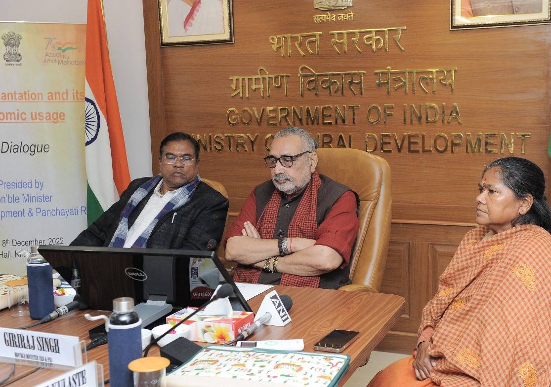
The chief guest will be Giriraj Singh, Union Minister of Rural Development and Panchayati Raj. "Digitizing and Geo-Referencing INDIA with Bhu-Aadhaar (ULPIN)" is the theme of the National Conference.
The Conference will have sessions on “Democratization of Land Records Data and Matribhoomi; “Application of Bhu-Aadhaar in Ease of Doing Business (EoDB) and Ease of Living; and “Best Practices – National and Global (Georeferencing / Survey/ Resurvey/ Use of Bhu-Aadhaar and Way Forward”.
This conference is part of the country's Bhumi-Samvaad series of dialogues and deliberations on land administration and governance. It is the fourth such conference, attended by states/UTs, ministries & departments, as well as other stakeholders such as the geospatial community, startups, and academia.
Participants will include representatives from various Central and State/UT Governments, academia and research institutes, regional bodies, the business community and civil society, and other stakeholders such as the Center for Land Governance, Geospatial World, Eris India Technologies, Mahalanobis National Crop Forest Centre, Survey of India, IIT Roorkee, MapMyIndia, and others. The following major topics will be covered during the conference:
-
Status of geo-referencing of land parcels/ cadastral maps, generation of Bhu-Aadhaar and strategy for its saturation in mission mode.
-
Benefits, uses, application of ULPIN or Bhu-Aadhaar in various services/ schemes/ sectors, best practices, feedback received from land owners / stakeholders and issues related thereto.
It will promote the exchange of knowledge and ideas, showcase innovations, share successful case studies, identify solutions, discuss future strategies, and provide mutual learning opportunities on a variety of topics, including the potential use of Bhu-Aadhaar or Unique Land Parcel Identification Number (ULPIN) across sectors. The Conference will feature around 300 participants from various fields from across the country.
The Bhu-Aadhaar or ULPIN, a 14-digit alpha-numeric number generated based on the latitude longitude of the vertices of each land parcel shall be a single, authoritative source of truth of information on any parcel of land or property to provide integrated land services to the citizens as well as all stakeholders.


