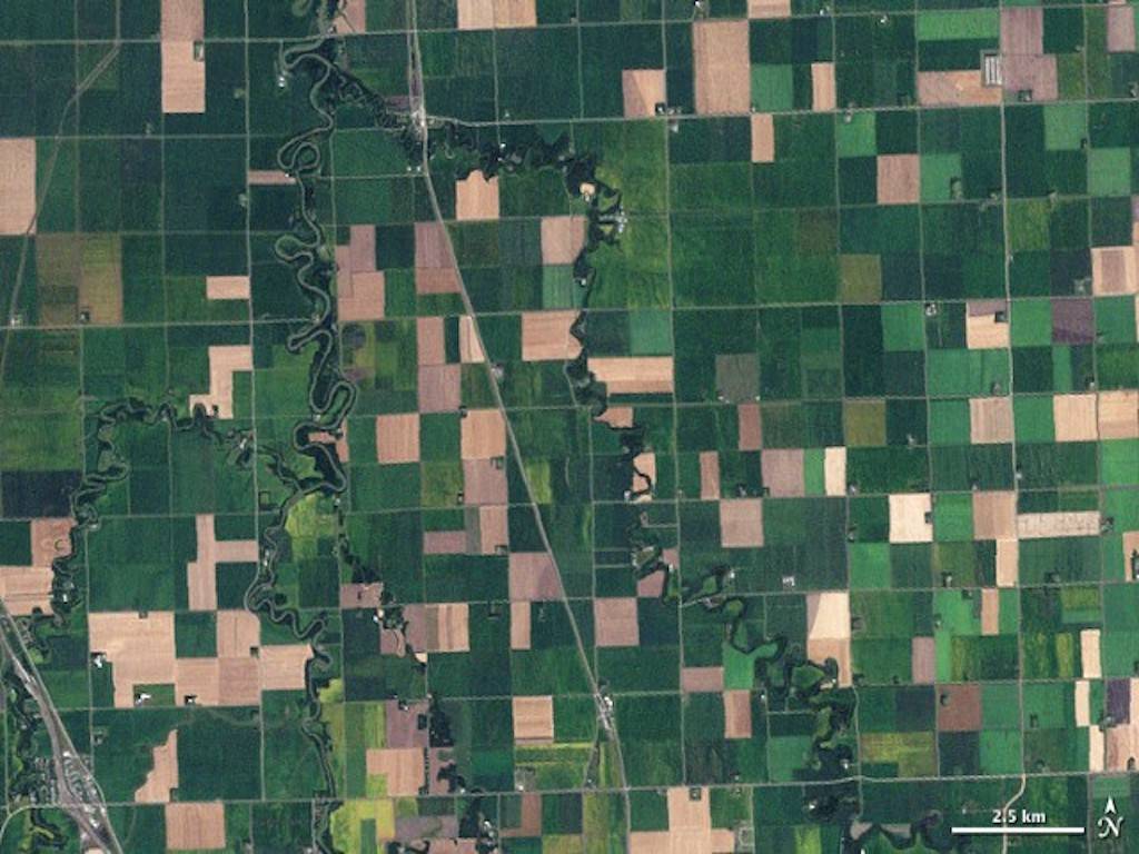
RMSI CROPALYTICS, a deep tech business in the domain of satellite imagery and analysis, hopes to enlist 25,000 farmers with its suite of services focused at accurate crop yield, disease, and pest avoidance.
In an interview, Roli Jindal, the company's co-founder, claimed that this would be achievable because of their technology, which exploits freely accessible pictures to make their services inexpensive.
Analysts can use satellite images to predict agricultural productivity, crop conditions, and crop disease and insect assaults in advance. Given the premium one must pay for the photos itself, such services usually come at a hefty price. Government agencies, trading houses, commodities dealers, insurance firms, and other businesses primarily employ these services. Such services, while useful, maybe beyond of reach for individual farmers or Farmer Producer Organisations.
Jindal stated that using openly available imagery will enable them to reach out to farmers and FPCs. "These photos may also be utilized for analysis," she added. In many nations, the business has created solutions that would allow for the construction of a farmer support system. Farmers may communicate with the firm via its integrated online and mobile app platform. One of the benefits of this method is that it reduces the time it takes for farmers to communicate with extension and field teams.
The application lets the geolocation of the farmer's plot be captured and shown on the company's dashboard. This field can be used to capture data, which can subsequently be traced back to the same spot. Depending on the demand, the information can be customized.
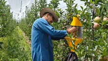
"We created a mechanism that allows stakeholders to communicate information and alerts to farmers", Jindal explained. Farmers can be counselled on the use of inputs, etc., depending on trigger points connected to weather-based occurrences. According to Jindal, their app allows farmers to upload photos of pests or diseases they see on their land.


